Canada Topographic Maps

Birch Tree Brook Topo Maps

Topography maps and Latitude/Longitude Location

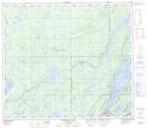
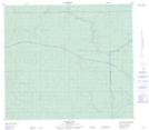
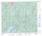
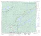
Maps showing Birch Tree Brook, 27-78-4W, Manitoba

Birch Tree Brook is a River located in 27-78-4W, Manitoba and has an elevation of 212 meters.

  • Latitude: 55° 47' 42'' North   (decimal: 55.7949999)
  • Longitude: 97° 59' 1'' West   (decimal: -97.9836000)
  • Topography Feature Category: River
  • Geographical Feature: Brook
  • Canadian Province/Territory: Manitoba
  • Elevation: 212 meters
  • Location: 27-78-4W
  • Atlas of Canada Locator Map: Birch Tree Brook
  • GPS Coordinate Locator Map: Birch Tree Brook Lat/Long

Birch Tree Brook NTS Map Sheets

063O09 Ospwagan Lake Topographic Map at 1:50,000 scale

063O16 Noble Lake Topographic Map at 1:50,000 scale

063P12 Thompson Topographic Map at 1:50,000 scale

063P13 Mystery Lake Topographic Map at 1:50,000 scale

063O Nelson House Topographic Map at 1:250,000 scale

063P Sipiwesk Topographic Map at 1:250,000 scale

 
Buy Topographic Maps DVD
Newsletter Sign-up

Yes, I want to receive map store discounts.


Bookmark and Share