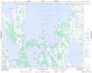
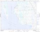
Maps showing The Bluff Harbour, Manitoba
The Bluff Harbour is a Bay located in Manitoba.
- Latitude: 51° 14' 40'' North (decimal: 51.2444000)
- Longitude: 98° 50' 50'' West (decimal: -98.8472000)
- Topography Feature Category: Bay
- Geographical Feature: Harbour
- Canadian Province/Territory: Manitoba
- GPS Coordinate Locator Map: The Bluff Harbour Lat/Long
The Bluff Harbour NTS Map Sheets