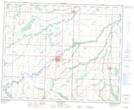
Maps showing Bowsman River, 12-38-27-W, Manitoba
Bowsman River is a River located in 12-38-27-W, Manitoba and has an elevation of 354 meters.
- Latitude: 52° 14' 54'' North (decimal: 52.2482999)
- Longitude: 101° 10' 47'' West (decimal: -101.1797000)
- Topography Feature Category: River
- Geographical Feature: River
- Canadian Province/Territory: Manitoba
- Elevation: 354 meters
- Location: 12-38-27-W
- Atlas of Canada Locator Map: Bowsman River
- GPS Coordinate Locator Map: Bowsman River Lat/Long
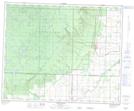
Bowsman River NTS Map Sheets