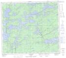
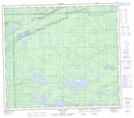
Maps showing Bunn Creek, 78-2-E, Manitoba
Bunn Creek is a River located in 78-2-E, Manitoba and has an elevation of 183 meters.
- Latitude: 55° 45' 1'' North (decimal: 55.7502999)
- Longitude: 97° 12' 46'' West (decimal: -97.2127999)
- Topography Feature Category: River
- Geographical Feature: Creek
- Canadian Province/Territory: Manitoba
- Elevation: 183 meters
- Location: 78-2-E
- Atlas of Canada Locator Map: Bunn Creek
- GPS Coordinate Locator Map: Bunn Creek Lat/Long
Bunn Creek NTS Map Sheets