Maps showing Caribou River, Manitoba
Caribou River is a River located in Manitoba and has an elevation of 21 meters.
- Latitude: 59° 19' 30'' North (decimal: 59.3249999)
- Longitude: 94° 44' 7'' West (decimal: -94.7352999)
- Topography Feature Category: River
- Geographical Feature: River
- Canadian Province/Territory: Manitoba
- Elevation: 21 meters
- Atlas of Canada Locator Map: Caribou River
- GPS Coordinate Locator Map: Caribou River Lat/Long
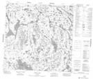
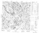
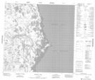
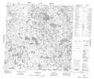
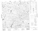
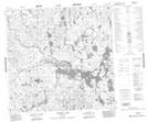
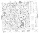
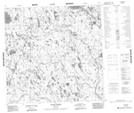
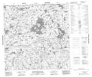
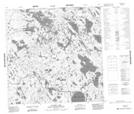
Caribou River NTS Map Sheets
054M05 Gross Lake Topographic Map at 1:50,000 scale
054M06 Sac Rapids Topographic Map at 1:50,000 scale
054M07 Hubbart Point Topographic Map at 1:50,000 scale
054M12 Mcewen Lake Topographic Map at 1:50,000 scale
064P07 Wallbridge Lake Topographic Map at 1:50,000 scale
064P08 Caribou Lake Topographic Map at 1:50,000 scale
064P09 Kellas Lake Topographic Map at 1:50,000 scale
064P10 Adam Creek Topographic Map at 1:50,000 scale
064P14 Commonwealth Lake Topographic Map at 1:50,000 scale
064P15 Vickery Lake Topographic Map at 1:50,000 scale
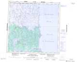
054M Caribou River Topographic Map at 1:250,000 scale
064P Nejanilini Lake Topographic Map at 1:250,000 scale