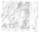
Maps showing Chambers Island, Manitoba
Chambers Island is a Island located in Manitoba and has an elevation of 295 meters.
- Latitude: 59° 32' 50'' North (decimal: 59.5471999)
- Longitude: 100° 4' 42'' West (decimal: -100.0782999)
- Topography Feature Category: Island
- Geographical Feature: Island
- Canadian Province/Territory: Manitoba
- Elevation: 295 meters
- Atlas of Canada Locator Map: Chambers Island
- GPS Coordinate Locator Map: Chambers Island Lat/Long
Chambers Island NTS Map Sheets