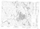
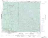
Maps showing Chap Falls, Manitoba
Chap Falls is a Falls located in Manitoba.
- Latitude: 51° 32' 23'' North (decimal: 51.5397000)
- Longitude: 95° 58' 43'' West (decimal: -95.9786000)
- Topography Feature Category: Falls
- Geographical Feature: Falls
- Canadian Province/Territory: Manitoba
- Atlas of Canada Locator Map: Chap Falls
- GPS Coordinate Locator Map: Chap Falls Lat/Long
Chap Falls NTS Map Sheets