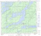
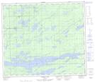
Maps showing Chatham Creek, 74-2-W, Manitoba
Chatham Creek is a River located in 74-2-W, Manitoba and has an elevation of 183 meters.
- Latitude: 55° 24' 11'' North (decimal: 55.4030999)
- Longitude: 97° 38' 58'' West (decimal: -97.6494000)
- Topography Feature Category: River
- Geographical Feature: Creek
- Canadian Province/Territory: Manitoba
- Elevation: 183 meters
- Location: 74-2-W
- Atlas of Canada Locator Map: Chatham Creek
- GPS Coordinate Locator Map: Chatham Creek Lat/Long
Chatham Creek NTS Map Sheets