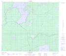
Maps showing Cook Bay, Manitoba
Cook Bay is a Bay located in Manitoba.
- Latitude: 54° 42' 44'' North (decimal: 54.7121999)
- Longitude: 99° 46' 48'' West (decimal: -99.7799999)
- Topography Feature Category: Bay
- Geographical Feature: Bay
- Canadian Province/Territory: Manitoba
- Atlas of Canada Locator Map: Cook Bay
- GPS Coordinate Locator Map: Cook Bay Lat/Long
Cook Bay NTS Map Sheets