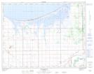
Maps showing Cook Creek, Manitoba
Cook Creek is a River located in Manitoba.
- Latitude: 50° 11' 20'' North (decimal: 50.1889000)
- Longitude: 98° 14' 11'' West (decimal: -98.2363999)
- Topography Feature Category: River
- Geographical Feature: Creek
- Canadian Province/Territory: Manitoba
- GPS Coordinate Locator Map: Cook Creek Lat/Long