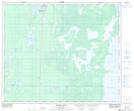
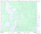
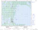
Maps showing Cypress Creek, 55-11-W, Manitoba
Cypress Creek is a River located in 55-11-W, Manitoba and has an elevation of 216 meters.
- Latitude: 53° 47' 2'' North (decimal: 53.7838999)
- Longitude: 99° 0' 36'' West (decimal: -99.0099999)
- Topography Feature Category: River
- Geographical Feature: Creek
- Canadian Province/Territory: Manitoba
- Elevation: 216 meters
- Location: 55-11-W
- Atlas of Canada Locator Map: Cypress Creek
- GPS Coordinate Locator Map: Cypress Creek Lat/Long
Cypress Creek NTS Map Sheets