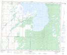
Maps showing Dolaine Creek, Manitoba
Dolaine Creek is a River located in Manitoba and has an elevation of 269 meters.
- Latitude: 52° 29' 22'' North (decimal: 52.4893999)
- Longitude: 100° 50' 44'' West (decimal: -100.8456000)
- Topography Feature Category: River
- Geographical Feature: Creek
- Canadian Province/Territory: Manitoba
- Elevation: 269 meters
- GPS Coordinate Locator Map: Dolaine Creek Lat/Long