Canada Topographic Maps

Duck Mountain Provincial Forest Topo Maps

Topography maps and Latitude/Longitude Location

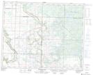
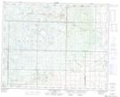
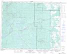
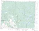
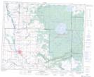
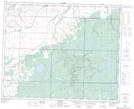
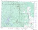
Maps showing Duck Mountain Provincial Forest, Manitoba

Duck Mountain Provincial Forest is a Conservation area located in Manitoba.

  • Latitude: 51° 29' 59'' North   (decimal: 51.4996999)
  • Longitude: 101° 10' 0'' West   (decimal: -101.1666999)
  • Topography Feature Category: Conservation area
  • Geographical Feature: Provincial Forest
  • Canadian Province/Territory: Manitoba
  • Atlas of Canada Locator Map: Duck Mountain Provincial Forest
  • GPS Coordinate Locator Map: Duck Mountain Provincial Forest Lat/Long

Duck Mountain Provincial Forest NTS Map Sheets

062N06 Burrows Lake Topographic Map at 1:50,000 scale

062N07 Baldy Mountain Topographic Map at 1:50,000 scale

062N10 Singush Lake Topographic Map at 1:50,000 scale

062N11 Childs Lake Topographic Map at 1:50,000 scale

062N12 Kamsack Topographic Map at 1:50,000 scale

062N14 Durban Topographic Map at 1:50,000 scale

062N15 Pine River Topographic Map at 1:50,000 scale

062N Duck Mountain Topographic Map at 1:250,000 scale

 
Buy Topographic Maps DVD
Newsletter Sign-up

Yes, I want to receive map store discounts.


Bookmark and Share