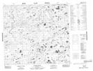
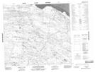
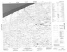
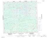
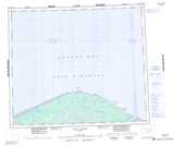
Maps showing East Nesayaketakayow River, Manitoba
East Nesayaketakayow River is a River located in Manitoba and has an elevation of 51 meters.
- Latitude: 57° 13' 20'' North (decimal: 57.2222220)
- Longitude: 91° 15' 54'' West (decimal: -91.2649998)
- Topography Feature Category: River
- Geographical Feature: River
- Canadian Province/Territory: Manitoba
- Elevation: 51 meters
- Atlas of Canada Locator Map: East Nesayaketakayow River
- GPS Coordinate Locator Map: East Nesayaketakayow River Lat/Long
East Nesayaketakayow River NTS Map Sheets