Canada Topographic Maps

Echoing River Topo Maps

Topography maps and Latitude/Longitude Location

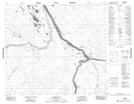
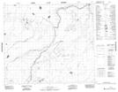
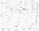
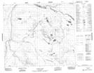
Maps showing Echoing River, Manitoba

Echoing River is a River located in Manitoba and has an elevation of 78 meters.

  • Latitude: 55° 50' 52'' North   (decimal: 55.8478000)
  • Longitude: 92° 4' 53'' West   (decimal: -92.0813999)
  • Topography Feature Category: River
  • Geographical Feature: River
  • Canadian Province/Territory: Manitoba
  • Elevation: 78 meters
  • Atlas of Canada Locator Map: Echoing River
  • GPS Coordinate Locator Map: Echoing River Lat/Long

Echoing River NTS Map Sheets

053N16 Shamattawa Topographic Map at 1:50,000 scale

053O04 No Title Topographic Map at 1:50,000 scale

053O05 No Title Topographic Map at 1:50,000 scale

053O06 Redhead Lakes Topographic Map at 1:50,000 scale

053O11 Pechabau River Topographic Map at 1:50,000 scale

053O12 No Title Topographic Map at 1:50,000 scale

053O13 Peckinow River Topographic Map at 1:50,000 scale

053N Gods River Topographic Map at 1:250,000 scale

053O Sturgeon Lake Topographic Map at 1:250,000 scale

 
Buy Topographic Maps DVD
Newsletter Sign-up

Yes, I want to receive map store discounts.


Bookmark and Share