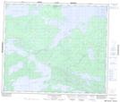
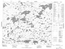
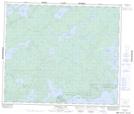
Maps showing Fathers Fishing Bay, Manitoba
Fathers Fishing Bay is a Bay located in Manitoba and has an elevation of 187 meters.
- Latitude: 54° 28' 55'' North (decimal: 54.4818999)
- Longitude: 94° 31' 2'' West (decimal: -94.5172000)
- Topography Feature Category: Bay
- Geographical Feature: Bay
- Canadian Province/Territory: Manitoba
- Elevation: 187 meters
- Atlas of Canada Locator Map: Fathers Fishing Bay
- GPS Coordinate Locator Map: Fathers Fishing Bay Lat/Long
Fathers Fishing Bay NTS Map Sheets