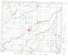
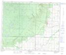
Maps showing Friday Creek, 31-37-28-W, Manitoba
Friday Creek is a River located in 31-37-28-W, Manitoba.
- Latitude: 52° 13' 8'' North (decimal: 52.2189000)
- Longitude: 101° 26' 59'' West (decimal: -101.4496999)
- Topography Feature Category: River
- Geographical Feature: Creek
- Canadian Province/Territory: Manitoba
- Location: 31-37-28-W
- Atlas of Canada Locator Map: Friday Creek
- GPS Coordinate Locator Map: Friday Creek Lat/Long
Friday Creek NTS Map Sheets