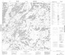
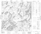
Maps showing Fudge Lake, Manitoba
Fudge Lake is a Lake located in Manitoba and has an elevation of 284 meters.
- Latitude: 59° 43' 15'' North (decimal: 59.7207999)
- Longitude: 99° 31' 10'' West (decimal: -99.5194000)
- Topography Feature Category: Lake
- Geographical Feature: Lake
- Canadian Province/Territory: Manitoba
- Elevation: 284 meters
- Atlas of Canada Locator Map: Fudge Lake
- GPS Coordinate Locator Map: Fudge Lake Lat/Long
Fudge Lake NTS Map Sheets