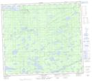
Maps showing Garraway, Manitoba
Garraway is a Unincorporated area located in Manitoba.
- Latitude: 55° 56' North (decimal: 55.9333000)
- Longitude: 96° 12' West (decimal: -96.2000000)
- Topography Feature Category: Unincorporated area
- Geographical Feature: Station
- Canadian Province/Territory: Manitoba
- GPS Coordinate Locator Map: Garraway Lat/Long