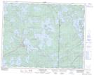
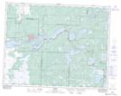
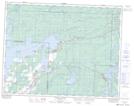
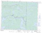
Maps showing George Lake, 14,15-15-E, Manitoba
George Lake is a Lake located in 14,15-15-E, Manitoba and has an elevation of 291 meters.
- Latitude: 50° 15' 1'' North (decimal: 50.2502999)
- Longitude: 95° 29' 58'' West (decimal: -95.4994000)
- Topography Feature Category: Lake
- Geographical Feature: Lake
- Canadian Province/Territory: Manitoba
- Elevation: 291 meters
- Location: 14,15-15-E
- Atlas of Canada Locator Map: George Lake
- GPS Coordinate Locator Map: George Lake Lat/Long
George Lake NTS Map Sheets