Maps showing Gillam, Manitoba
Gillam is a Town located in Manitoba.
- Latitude: 56° 27' 30'' North (decimal: 56.4582999)
- Longitude: 94° 12' 30'' West (decimal: -94.2083000)
- Topography Feature Category: Town
- Geographical Feature: Town
- Canadian Province/Territory: Manitoba
- Atlas of Canada Locator Map: Gillam
- GPS Coordinate Locator Map: Gillam Lat/Long
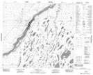
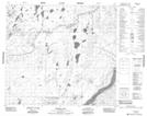
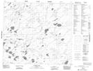
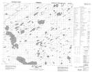
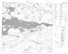
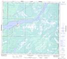
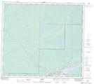
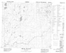
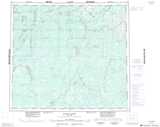
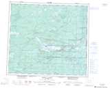
Gillam NTS Map Sheets
054C12 Merrick Lake Topographic Map at 1:50,000 scale
054C13 Broten Lake Topographic Map at 1:50,000 scale
054D01 Lenora Lake Topographic Map at 1:50,000 scale
054D02 Kettle Lake Topographic Map at 1:50,000 scale
054D07 Kettle Rapids Topographic Map at 1:50,000 scale
054D08 Brooks Creek Topographic Map at 1:50,000 scale
054D09 Amery Topographic Map at 1:50,000 scale
054D16 Weir River Topographic Map at 1:50,000 scale
054C Hayes River Topographic Map at 1:250,000 scale
054D Kettle Rapids Topographic Map at 1:250,000 scale