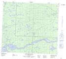
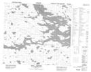
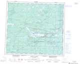
Maps showing Gull Lake, 84,85-13,14-E, Manitoba
Gull Lake is a Lake located in 84,85-13,14-E, Manitoba and has an elevation of 158 meters.
- Latitude: 56° 19' 12'' North (decimal: 56.3200000)
- Longitude: 95° 23' 6'' West (decimal: -95.3849999)
- Topography Feature Category: Lake
- Geographical Feature: Lake
- Canadian Province/Territory: Manitoba
- Elevation: 158 meters
- Location: 84,85-13,14-E
- Atlas of Canada Locator Map: Gull Lake
- GPS Coordinate Locator Map: Gull Lake Lat/Long
Gull Lake NTS Map Sheets