Canada Topographic Maps

Hoot Creek Topo Maps

Topography maps and Latitude/Longitude Location

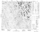
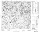
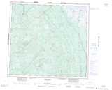
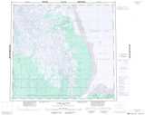
Maps showing Hoot Creek, Manitoba

Hoot Creek is a River located in Manitoba.

  • Latitude: 57° 43' 35'' North   (decimal: 57.7263999)
  • Longitude: 93° 41' 4'' West   (decimal: -93.6843999)
  • Topography Feature Category: River
  • Geographical Feature: Creek
  • Canadian Province/Territory: Manitoba
  • Atlas of Canada Locator Map: Hoot Creek
  • GPS Coordinate Locator Map: Hoot Creek Lat/Long

Hoot Creek NTS Map Sheets

054E09 O'Day Topographic Map at 1:50,000 scale

054F12 Hoot Creek Topographic Map at 1:50,000 scale

054E Herchmer Topographic Map at 1:250,000 scale

054F York Factory Topographic Map at 1:250,000 scale

 
Buy Topographic Maps DVD
Newsletter Sign-up

Yes, I want to receive map store discounts.


Bookmark and Share