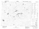
Maps showing Hyndman Creek, Manitoba
Hyndman Creek is a River located in Manitoba.
- Latitude: 53° 24' 32'' North (decimal: 53.4089000)
- Longitude: 94° 43' 58'' West (decimal: -94.7328000)
- Topography Feature Category: River
- Geographical Feature: Creek
- Canadian Province/Territory: Manitoba
- Atlas of Canada Locator Map: Hyndman Creek
- GPS Coordinate Locator Map: Hyndman Creek Lat/Long
Hyndman Creek NTS Map Sheets