Canada Topographic Maps

Jackson Creek Topo Maps

Topography maps and Latitude/Longitude Location

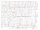
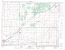
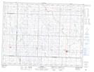
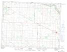
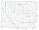
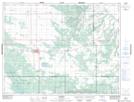
Maps showing Jackson Creek, 15-4-26-W, Manitoba

Jackson Creek is a River located in 15-4-26-W, Manitoba and has an elevation of 498 meters.

  • Latitude: 49° 18' 2'' North   (decimal: 49.3005999)
  • Longitude: 100° 54' 28'' West   (decimal: -100.9077999)
  • Topography Feature Category: River
  • Geographical Feature: Creek
  • Canadian Province/Territory: Manitoba
  • Elevation: 498 meters
  • Location: 15-4-26-W
  • Atlas of Canada Locator Map: Jackson Creek
  • GPS Coordinate Locator Map: Jackson Creek Lat/Long

Jackson Creek NTS Map Sheets

062F06 Tilston Topographic Map at 1:50,000 scale

062F07 Hartney Topographic Map at 1:50,000 scale

062F11 Reston Topographic Map at 1:50,000 scale

062F13 Maryfield Topographic Map at 1:50,000 scale

062F14 Elkhorn Topographic Map at 1:50,000 scale

062G14 Carberry Topographic Map at 1:50,000 scale

062F Virden Topographic Map at 1:250,000 scale

062G Brandon Topographic Map at 1:250,000 scale

 
Buy Topographic Maps DVD
Newsletter Sign-up

Yes, I want to receive map store discounts.


Bookmark and Share