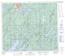
Maps showing Johnson, 34-75-1-W, Manitoba
Johnson is a Unincorporated area located in 34-75-1-W, Manitoba.
- Latitude: 55° 32' 30'' North (decimal: 55.5416999)
- Longitude: 97° 31' 38'' West (decimal: -97.5271999)
- Topography Feature Category: Unincorporated area
- Geographical Feature: Railway Point
- Canadian Province/Territory: Manitoba
- Location: 34-75-1-W
- Atlas of Canada Locator Map: Johnson
- GPS Coordinate Locator Map: Johnson Lat/Long