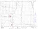
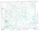
Maps showing Joubert Creek, Manitoba
Joubert Creek is a River located in Manitoba and has an elevation of 239 meters.
- Latitude: 49° 27' 17'' North (decimal: 49.4547000)
- Longitude: 97° 0' 40'' West (decimal: -97.0111000)
- Topography Feature Category: River
- Geographical Feature: Creek
- Canadian Province/Territory: Manitoba
- Elevation: 239 meters
- Atlas of Canada Locator Map: Joubert Creek
- GPS Coordinate Locator Map: Joubert Creek Lat/Long
Joubert Creek NTS Map Sheets