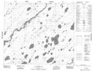
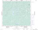
Maps showing Kakwa Rapids, 75-2-E2, Manitoba
Kakwa Rapids is a Rapids located in 75-2-E2, Manitoba and has an elevation of 138 meters.
- Latitude: 55° 27' 59'' North (decimal: 55.4663999)
- Longitude: 93° 44' 22'' West (decimal: -93.7393999)
- Topography Feature Category: Rapids
- Geographical Feature: Rapids
- Canadian Province/Territory: Manitoba
- Elevation: 138 meters
- Location: 75-2-E2
- Atlas of Canada Locator Map: Kakwa Rapids
- GPS Coordinate Locator Map: Kakwa Rapids Lat/Long
Kakwa Rapids NTS Map Sheets