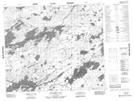
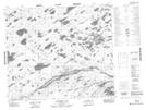
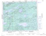
Maps showing Kamikekimasic Lake, 67-7-W, Manitoba
Kamikekimasic Lake is a Lake located in 67-7-W, Manitoba and has an elevation of 215 meters.
- Latitude: 54° 47' 18'' North (decimal: 54.7882999)
- Longitude: 96° 29' 59'' West (decimal: -96.4996999)
- Topography Feature Category: Lake
- Geographical Feature: Lake
- Canadian Province/Territory: Manitoba
- Elevation: 215 meters
- Location: 67-7-W
- Atlas of Canada Locator Map: Kamikekimasic Lake
- GPS Coordinate Locator Map: Kamikekimasic Lake Lat/Long
Kamikekimasic Lake NTS Map Sheets