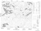
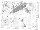
Maps showing Knight Lake, Manitoba
Knight Lake is a Lake located in Manitoba and has an elevation of 257 meters.
- Latitude: 53° 42' 11'' North (decimal: 53.7030999)
- Longitude: 95° 24' 57'' West (decimal: -95.4157999)
- Topography Feature Category: Lake
- Geographical Feature: Lake
- Canadian Province/Territory: Manitoba
- Elevation: 257 meters
- Atlas of Canada Locator Map: Knight Lake
- GPS Coordinate Locator Map: Knight Lake Lat/Long
Knight Lake NTS Map Sheets