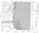
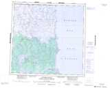
Maps showing The Knoll, Manitoba
The Knoll is a Mountain located in Manitoba and has an elevation of 7 meters.
- Latitude: 59° 3' 35'' North (decimal: 59.0597000)
- Longitude: 94° 50' 3'' West (decimal: -94.8342000)
- Topography Feature Category: Mountain
- Geographical Feature: Knoll
- Canadian Province/Territory: Manitoba
- Elevation: 7 meters
- Atlas of Canada Locator Map: The Knoll
- GPS Coordinate Locator Map: The Knoll Lat/Long
The Knoll NTS Map Sheets