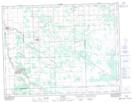
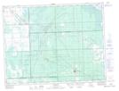
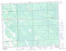
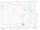
Maps showing La Broquerie, Manitoba
La Broquerie is a Other municipal/district area - miscellaneous located in Manitoba and has an elevation of 280 meters.
- Latitude: 49° 20' 34'' North (decimal: 49.3428000)
- Longitude: 96° 57' 18'' West (decimal: -96.9550000)
- Topography Feature Category: Other municipal/district area - miscellaneous
- Geographical Feature: Rural Municipality
- Canadian Province/Territory: Manitoba
- Elevation: 280 meters
- Atlas of Canada Locator Map: La Broquerie
- GPS Coordinate Locator Map: La Broquerie Lat/Long
La Broquerie NTS Map Sheets