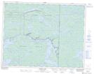
Maps showing Lamprey Falls, Manitoba
Lamprey Falls is a Falls located in Manitoba.
- Latitude: 50° 21' 44'' North (decimal: 50.3621999)
- Longitude: 95° 25' 48'' West (decimal: -95.4300000)
- Topography Feature Category: Falls
- Geographical Feature: Falls
- Canadian Province/Territory: Manitoba
- GPS Coordinate Locator Map: Lamprey Falls Lat/Long
Lamprey Falls NTS Map Sheets