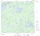
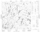
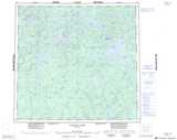
Maps showing Larsen River, Manitoba
Larsen River is a River located in Manitoba and has an elevation of 285 meters.
- Latitude: 58° 5' 24'' North (decimal: 58.0900000)
- Longitude: 98° 21' 14'' West (decimal: -98.3539000)
- Topography Feature Category: River
- Geographical Feature: River
- Canadian Province/Territory: Manitoba
- Elevation: 285 meters
- Atlas of Canada Locator Map: Larsen River
- GPS Coordinate Locator Map: Larsen River Lat/Long
Larsen River NTS Map Sheets