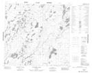
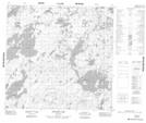
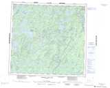
Maps showing Laurila River, Manitoba
Laurila River is a River located in Manitoba and has an elevation of 318 meters.
- Latitude: 58° 48' 10'' North (decimal: 58.8028000)
- Longitude: 100° 3' 8'' West (decimal: -100.0521999)
- Topography Feature Category: River
- Geographical Feature: River
- Canadian Province/Territory: Manitoba
- Elevation: 318 meters
- Atlas of Canada Locator Map: Laurila River
- GPS Coordinate Locator Map: Laurila River Lat/Long
Laurila River NTS Map Sheets