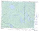
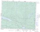
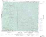
Maps showing Leaf Lake, 24,25-14,15-E, Manitoba
Leaf Lake is a Lake located in 24,25-14,15-E, Manitoba and has an elevation of 297 meters.
- Latitude: 51° 6' 44'' North (decimal: 51.1121999)
- Longitude: 95° 28' 44'' West (decimal: -95.4788999)
- Topography Feature Category: Lake
- Geographical Feature: Lake
- Canadian Province/Territory: Manitoba
- Elevation: 297 meters
- Location: 24,25-14,15-E
- Atlas of Canada Locator Map: Leaf Lake
- GPS Coordinate Locator Map: Leaf Lake Lat/Long
Leaf Lake NTS Map Sheets