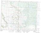
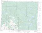
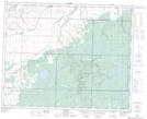
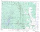
Maps showing Line Creek, 24-32-26-W, Manitoba
Line Creek is a River located in 24-32-26-W, Manitoba and has an elevation of 670 meters.
- Latitude: 51° 45' 6'' North (decimal: 51.7517000)
- Longitude: 101° 1' 40'' West (decimal: -101.0277999)
- Topography Feature Category: River
- Geographical Feature: Creek
- Canadian Province/Territory: Manitoba
- Elevation: 670 meters
- Location: 24-32-26-W
- Atlas of Canada Locator Map: Line Creek
- GPS Coordinate Locator Map: Line Creek Lat/Long
Line Creek NTS Map Sheets