Maps showing Little Churchill River, Manitoba
Little Churchill River is a River located in Manitoba and has an elevation of 154 meters.
- Latitude: 57° 30' 20'' North (decimal: 57.5055999)
- Longitude: 95° 21' 30'' West (decimal: -95.3582999)
- Topography Feature Category: River
- Geographical Feature: River
- Canadian Province/Territory: Manitoba
- Elevation: 154 meters
- Atlas of Canada Locator Map: Little Churchill River
- GPS Coordinate Locator Map: Little Churchill River Lat/Long
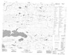
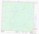
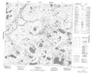
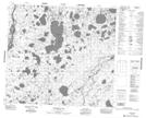
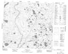
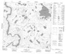
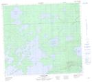
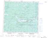
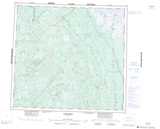
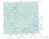
Little Churchill River NTS Map Sheets
054D12 Limestone Lake Topographic Map at 1:50,000 scale
054D13 Recluse Lake Topographic Map at 1:50,000 scale
054E03 Whiting Lake Topographic Map at 1:50,000 scale
054E04 Embleton Lake Topographic Map at 1:50,000 scale
054E06 Downer Lake Topographic Map at 1:50,000 scale
054E11 Bradshaw Lake Topographic Map at 1:50,000 scale
064A09 Hale Lake Topographic Map at 1:50,000 scale
054D Kettle Rapids Topographic Map at 1:250,000 scale
054E Herchmer Topographic Map at 1:250,000 scale
064A Split Lake Topographic Map at 1:250,000 scale