Canada Topographic Maps

Little Saskatchewan River Topo Maps

Topography maps and Latitude/Longitude Location

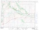
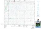
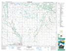
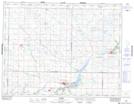
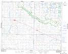
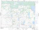
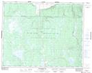
Maps showing Little Saskatchewan River, 33-10-20-W, Manitoba

Little Saskatchewan River is a River located in 33-10-20-W, Manitoba and has an elevation of 438 meters.

  • Latitude: 49° 52' 18'' North   (decimal: 49.8716999)
  • Longitude: 100° 7' 12'' West   (decimal: -100.1200000)
  • Topography Feature Category: River
  • Geographical Feature: River
  • Canadian Province/Territory: Manitoba
  • Elevation: 438 meters
  • Location: 33-10-20-W
  • Atlas of Canada Locator Map: Little Saskatchewan River
  • GPS Coordinate Locator Map: Little Saskatchewan River Lat/Long

Little Saskatchewan River NTS Map Sheets

062F16 Alexander Topographic Map at 1:50,000 scale

062J04 Moore Park Topographic Map at 1:50,000 scale

062J05 Clanwilliam Topographic Map at 1:50,000 scale

062K01 Rivers Topographic Map at 1:50,000 scale

062K08 Newdale Topographic Map at 1:50,000 scale

062K09 Elphinstone Topographic Map at 1:50,000 scale

062K16 Whitewater Lake Topographic Map at 1:50,000 scale

062F Virden Topographic Map at 1:250,000 scale

062J Neepawa Topographic Map at 1:250,000 scale

062K Riding Mountain Topographic Map at 1:250,000 scale

 
Buy Topographic Maps DVD
Newsletter Sign-up

Yes, I want to receive map store discounts.


Bookmark and Share