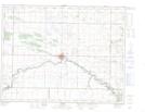
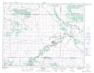
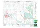
Maps showing Little Souris River, 20-9-17-W, Manitoba
Little Souris River is a River located in 20-9-17-W, Manitoba and has an elevation of 402 meters.
- Latitude: 49° 45' 49'' North (decimal: 49.7636000)
- Longitude: 99° 44' 45'' West (decimal: -99.7457999)
- Topography Feature Category: River
- Geographical Feature: River
- Canadian Province/Territory: Manitoba
- Elevation: 402 meters
- Location: 20-9-17-W
- Atlas of Canada Locator Map: Little Souris River
- GPS Coordinate Locator Map: Little Souris River Lat/Long
Little Souris River NTS Map Sheets