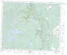
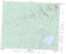
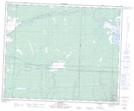
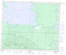
Maps showing Little Woody River, 45-28-W, Manitoba
Little Woody River is a River located in 45-28-W, Manitoba and has an elevation of 786 meters.
- Latitude: 52° 54' 17'' North (decimal: 52.9047000)
- Longitude: 101° 29' 23'' West (decimal: -101.4897000)
- Topography Feature Category: River
- Geographical Feature: River
- Canadian Province/Territory: Manitoba
- Elevation: 786 meters
- Location: 45-28-W
- Atlas of Canada Locator Map: Little Woody River
- GPS Coordinate Locator Map: Little Woody River Lat/Long
Little Woody River NTS Map Sheets