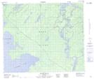
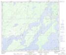
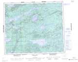
Maps showing Manitou Point, 28,33-62-4-W, Manitoba
Manitou Point is a Cape located in 28,33-62-4-W, Manitoba.
- Latitude: 54° 23' 29'' North (decimal: 54.3913999)
- Longitude: 97° 59' 33'' West (decimal: -97.9925000)
- Topography Feature Category: Cape
- Geographical Feature: Point
- Canadian Province/Territory: Manitoba
- Location: 28,33-62-4-W
- Atlas of Canada Locator Map: Manitou Point
- GPS Coordinate Locator Map: Manitou Point Lat/Long
Manitou Point NTS Map Sheets