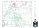
Maps showing McArthur, 29-11-7-W, Manitoba
McArthur is a Unincorporated area located in 29-11-7-W, Manitoba.
- Latitude: 49° 57' North (decimal: 49.9500000)
- Longitude: 98° 23' West (decimal: -98.3833000)
- Topography Feature Category: Unincorporated area
- Geographical Feature: Station
- Canadian Province/Territory: Manitoba
- Location: 29-11-7-W
- GPS Coordinate Locator Map: McArthur Lat/Long
McArthur NTS Map Sheets