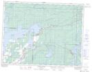
Maps showing McArthur Falls, 2-17-11-E, Manitoba
McArthur Falls is a Falls located in 2-17-11-E, Manitoba.
- Latitude: 50° 24' North (decimal: 50.4000000)
- Longitude: 95° 59' West (decimal: -95.9833000)
- Topography Feature Category: Falls
- Geographical Feature: Falls
- Canadian Province/Territory: Manitoba
- Location: 2-17-11-E
- GPS Coordinate Locator Map: McArthur Falls Lat/Long
McArthur Falls NTS Map Sheets