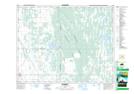
Maps showing McCreary, Manitoba
McCreary is a Village located in Manitoba and has an elevation of 297 meters.
- Latitude: 50° 46' 23'' North (decimal: 50.7731000)
- Longitude: 99° 29' 32'' West (decimal: -99.4922000)
- Topography Feature Category: Village
- Geographical Feature: Village
- Canadian Province/Territory: Manitoba
- Elevation: 297 meters
- Atlas of Canada Locator Map: McCreary
- GPS Coordinate Locator Map: McCreary Lat/Long