Canada Topographic Maps

McPhail River Topo Maps

Topography maps and Latitude/Longitude Location

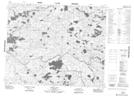
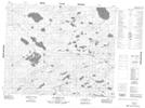
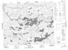
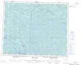
Maps showing McPhail River, Manitoba

McPhail River is a River located in Manitoba and has an elevation of 261 meters.

  • Latitude: 52° 44' 19'' North   (decimal: 52.7386000)
  • Longitude: 96° 29' 11'' West   (decimal: -96.4863999)
  • Topography Feature Category: River
  • Geographical Feature: River
  • Canadian Province/Territory: Manitoba
  • Elevation: 261 meters
  • Atlas of Canada Locator Map: McPhail River
  • GPS Coordinate Locator Map: McPhail River Lat/Long

McPhail River NTS Map Sheets

053D11 Kagipo Lake Topographic Map at 1:50,000 scale

053D12 Lewis Lake Topographic Map at 1:50,000 scale

053D13 Gilchrist Lake Topographic Map at 1:50,000 scale

063A09 Wrong Lake Topographic Map at 1:50,000 scale

053D Deer Lake Topographic Map at 1:250,000 scale

063A Berens River Topographic Map at 1:250,000 scale

 
Buy Topographic Maps DVD
Newsletter Sign-up

Yes, I want to receive map store discounts.


Bookmark and Share