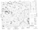
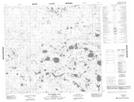
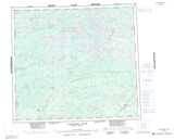
Maps showing Minaker Creek, Manitoba
Minaker Creek is a River located in Manitoba and has an elevation of 65 meters.
- Latitude: 56° 39' 47'' North (decimal: 56.6630999)
- Longitude: 90° 35' 36'' West (decimal: -90.5933000)
- Topography Feature Category: River
- Geographical Feature: Creek
- Canadian Province/Territory: Manitoba
- Elevation: 65 meters
- Atlas of Canada Locator Map: Minaker Creek
- GPS Coordinate Locator Map: Minaker Creek Lat/Long
Minaker Creek NTS Map Sheets