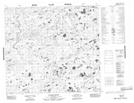
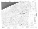
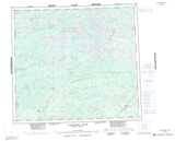
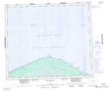
Maps showing Mistasini River, Manitoba
Mistasini River is a River located in Manitoba and has an elevation of 41 meters.
- Latitude: 57° 11' 31'' North (decimal: 57.1919000)
- Longitude: 91° 23' 56'' West (decimal: -91.3989000)
- Topography Feature Category: River
- Geographical Feature: River
- Canadian Province/Territory: Manitoba
- Elevation: 41 meters
- Atlas of Canada Locator Map: Mistasini River
- GPS Coordinate Locator Map: Mistasini River Lat/Long
Mistasini River NTS Map Sheets