Maps showing Mystery Lake, Manitoba
Mystery Lake is a Other municipal/district area - miscellaneous located in Manitoba.
- Latitude: 55° 34' North (decimal: 55.5667000)
- Longitude: 97° 59' West (decimal: -97.9832999)
- Topography Feature Category: Other municipal/district area - miscellaneous
- Geographical Feature: Local Government District
- Canadian Province/Territory: Manitoba
- Atlas of Canada Locator Map: Mystery Lake
- GPS Coordinate Locator Map: Mystery Lake Lat/Long
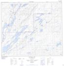
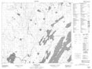
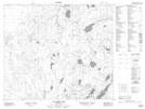
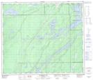
Mystery Lake NTS Map Sheets
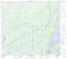
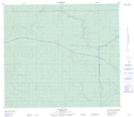
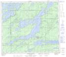
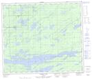
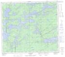
063O01 Halfway Lake Topographic Map at 1:50,000 scale
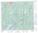
063O02 Pistol Lake Topographic Map at 1:50,000 scale
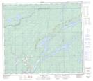
063O07 Tullibee Lake Topographic Map at 1:50,000 scale
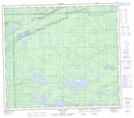
063O08 Hambone Lake Topographic Map at 1:50,000 scale
063O09 Ospwagan Lake Topographic Map at 1:50,000 scale
063O16 Noble Lake Topographic Map at 1:50,000 scale
063P05 Thicket Portage Topographic Map at 1:50,000 scale
063P06 Landing Lake Topographic Map at 1:50,000 scale
063P11 Pikwitonei Topographic Map at 1:50,000 scale
063P12 Thompson Topographic Map at 1:50,000 scale
063P13 Mystery Lake Topographic Map at 1:50,000 scale
063P14 Begg Lake Topographic Map at 1:50,000 scale
063O Nelson House Topographic Map at 1:250,000 scale
063P Sipiwesk Topographic Map at 1:250,000 scale