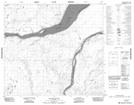
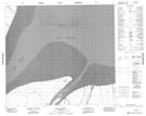
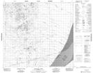
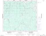
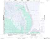
Maps showing Port Nelson, 92-9-E2, Manitoba
Port Nelson is a Bay located in 92-9-E2, Manitoba and has an elevation of 0 meters.
- Latitude: 57° 4' 0'' North (decimal: 57.0667000)
- Longitude: 92° 30' 20'' West (decimal: -92.5056000)
- Topography Feature Category: Bay
- Geographical Feature: Port
- Canadian Province/Territory: Manitoba
- Elevation: 0 meters
- Location: 92-9-E2
- Atlas of Canada Locator Map: Port Nelson
- GPS Coordinate Locator Map: Port Nelson Lat/Long
Port Nelson NTS Map Sheets